Your cart is currently empty!
Mapping & Tools
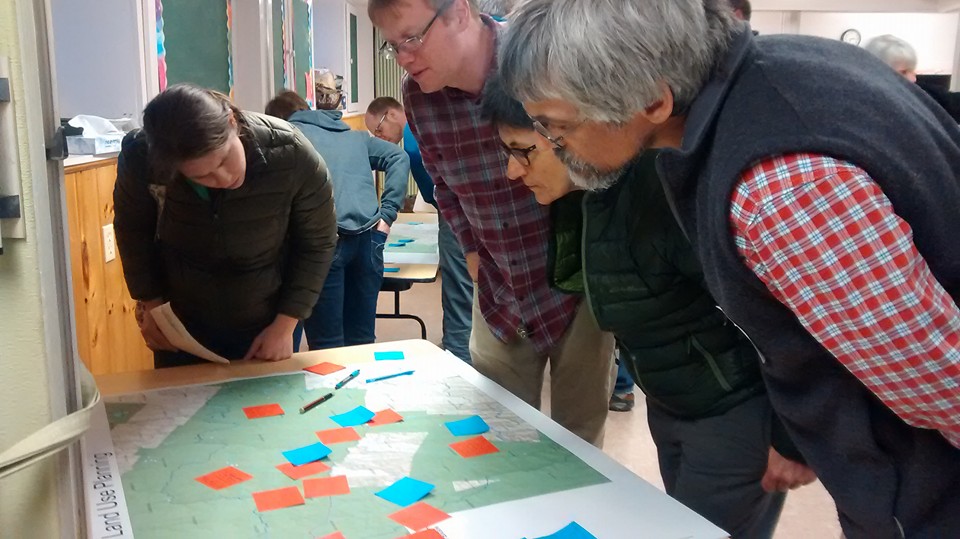
To assist homeowners, municipalities and organizations with projects, the WNRCD has compiled a list of online mapping resources and tools that can be utilized for the planning and implementation of conservation projects.
The Vermont Agency of Natural Resources has been busy making the Natural Resources Atlas the best online mapping tool for Vermont’s Natural Resources. With over 150 map layers available to make your custom map from across all departments and other state and municipal agencies, you can use the Atlas to create a robust map for any purpose.
The Vermont Agency of Natural Resources online-mapping tool that can help identify critical facilities, transportation services and buildings that are at risk from flooding. It also helps to identify local watersheds and the extent of natural flood protection.
BioFinder is a map and database identifying Vermont’s lands and waters supporting high priority ecosystems, natural communities, habitats, and species. The most comprehensive assessment of its kind in Vermont. At its core, BioFinder is 21 overlapping data sets representing terrestrial and aquatic biological, ecological, and natural heritage data at various scales and aspects.
NOAA’s National Centers for Environmental Information weather mapping tool. Includes daily and monthly ranges, regional information, radar and more.
VTrans Town Highway maps that includes a full set of town highways, updated in 2015.
Hydrological Simulation Program (HSPF)
The EPA’s comprehensive package for simulation of watershed hydrology and water quality for both conventional and toxic organic pollutants. HSPF incorporates watershed-scale ARM and NPS models into a basin-scale analysis framework that includes fate and transport in one dimensional stream channels. It is the only comprehensive model of watershed hydrology and water quality that allows the integrated simulation of land and soil contaminant runoff processes with In-stream hydraulic and sediment-chemical interactions. The result of this simulation is a time history of the runoff flow rate, sediment load, and nutrient and pesticide concentrations, along with a time history of water quantity and quality at any point in a watershed.
i-Tree Eco is a software application designed to use field data from complete inventories or randomly located plots throughout a community along with local hourly air pollution and meteorological data to quantify urban forest structure, environmental effects, and value to communities. Baseline data can be used for making effective resource management decisions, develop policy and set priorities.
Within the i-Tree software suite, street tree populations are assessed using i-Tree Streets, which is an analysis tool for urban forest managers that uses tree inventory data to quantify the dollar value of annual environmental and aesthetic benefits: energy conservation, air quality improvement, CO2 reduction, stormwater control, and property value increase.
US EPA DWMAPS Drinking Water Mapping
DWMAPS provides users with information on if drinking water supplies are polluted and if there are possible sources of pollution that could affect the water supply. It also provides a guide on ways a user can get involved in protecting drinking water in their community.
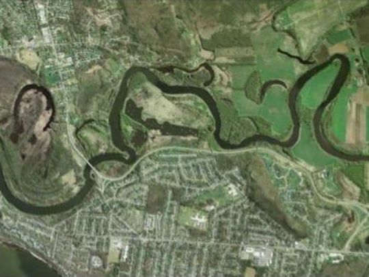
A Natural Resource Inventory of Bolton, Huntington, Jericho and Richmond Vermont. The map illustrates the broad array of resources that give our area such natural appeal and vitality; including habitat corridors, land cover, natural communities and wildlife habitat. Data can be used to inform model bylaws and non-regulatory tools tailored to the needs of each participating community to protect, restore and enhance these important places and advance the goals specified each town’s plan and to engage property owners and other citizens to conserve important natural resources.
View the Report Here: Science to Action Report